June 30, 2021
0
Toolbox: DataFrame points to GeoSeries
Python function to transform DataFrame with float coordinates to GeoSeries (GeoDataFrame)....
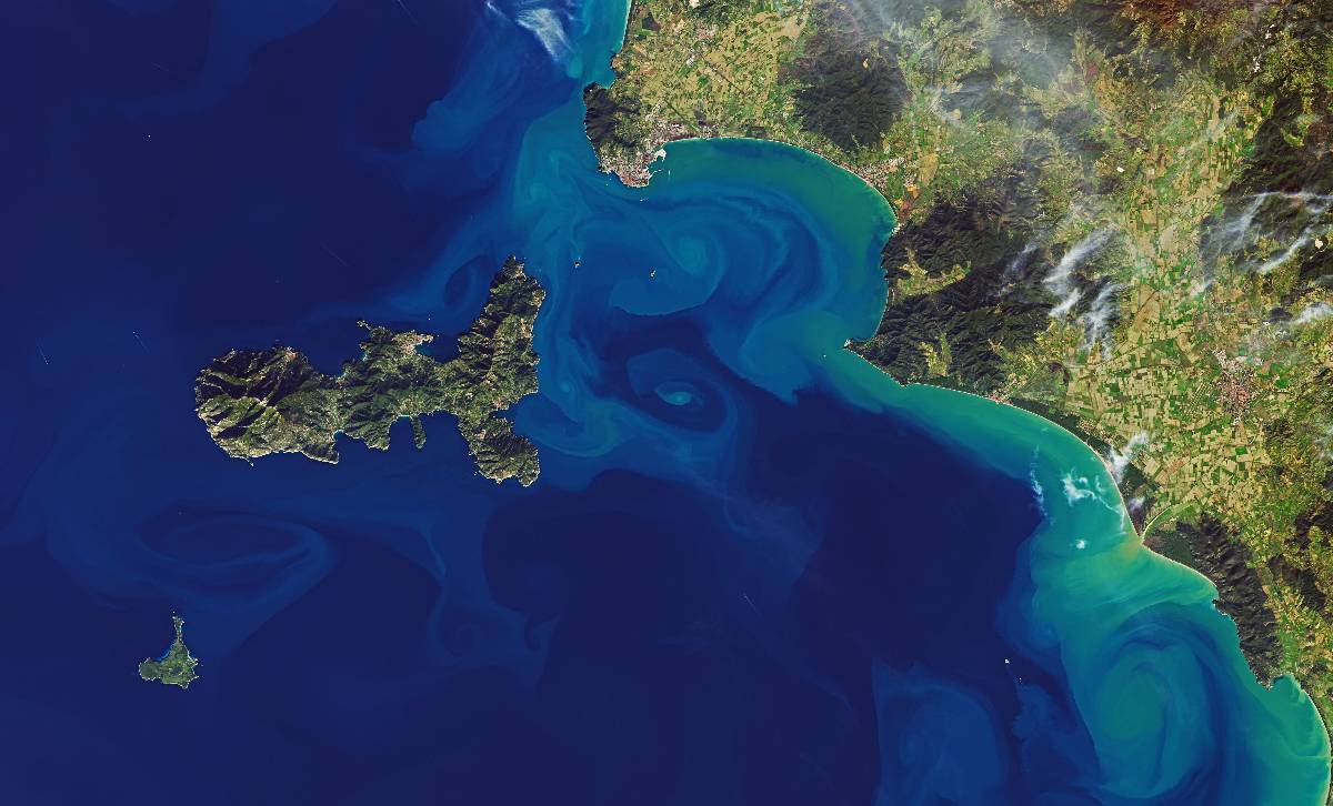
Spatial Interpolation 101: Interpolation of Mercury Concentrations in the Mediterranean Sea with IDW and Python
Inverse Distance Weighting of mercury concentrations in the Mediterranean Sea with Python...
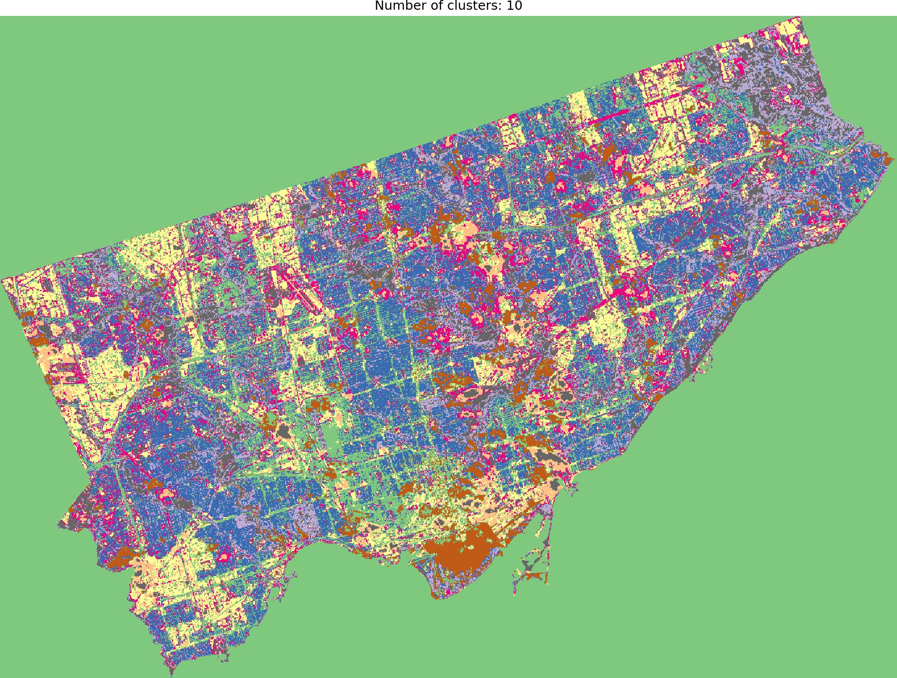
Data Science: Unsupervised Classification of satellite images with K-means algorithm
How to perform unsupervised classification of satellite images with Python....
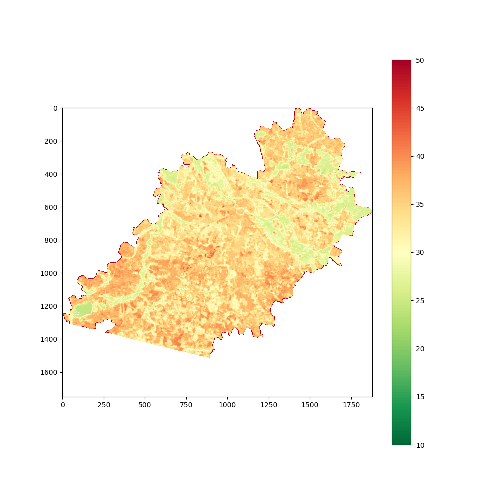
Toolbox: Visualize raster band in Python
How to visualize raster file in Python...
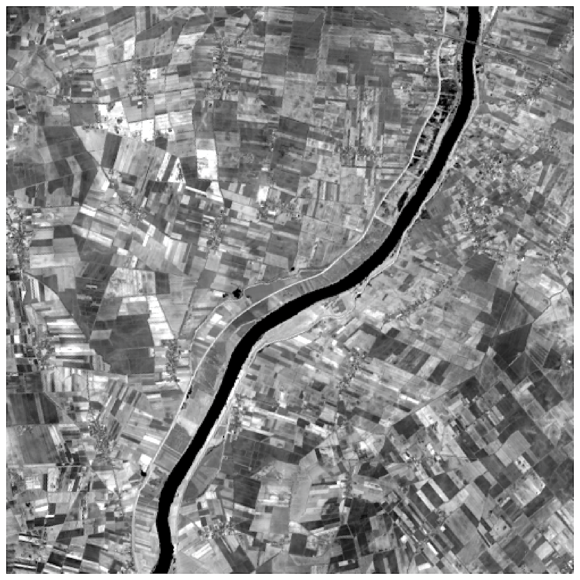
Data Engineering: Crop big raster files with Python and rasterio
Prototyping of EO data processing and analysis scripts could be painful due to the size of images. You can process smaller tiles - but first you must clip bigger scenes....


