
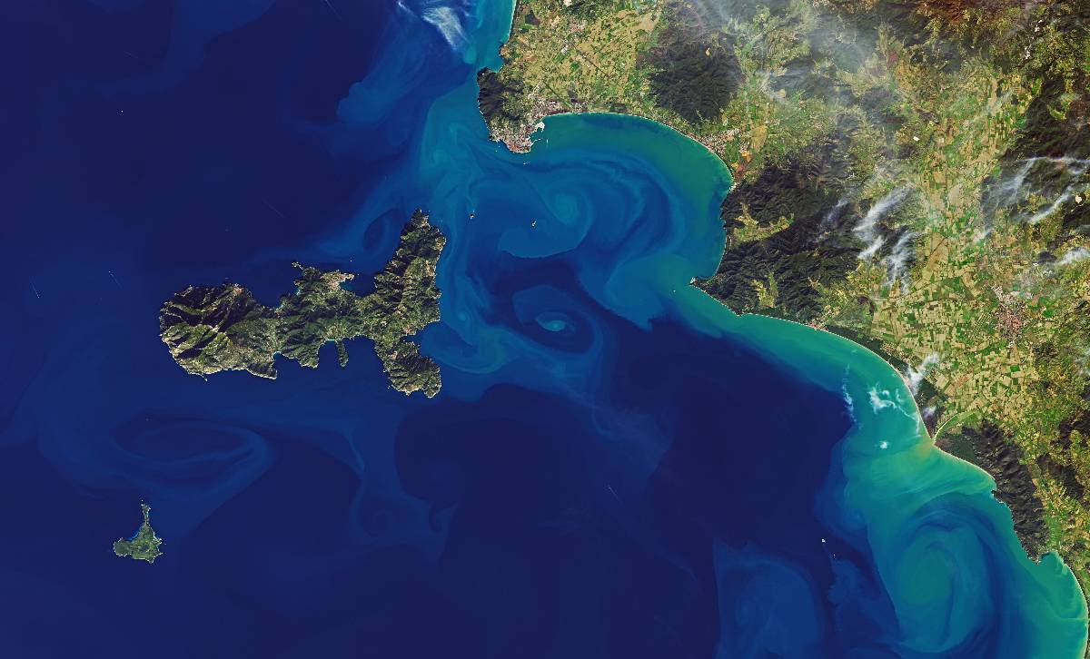
Remote Sensing: The Heat Waves and Your’s City Future
Your city is not the best place to be during a heatwave....

Data Engineering: The Test Coverage for the Scientific Software
In this tutorial, we will learn about the different types of tests that could cover the scientific package. We are going to create unit and functional tests for the code developed within the Pyinterpolate package. We see how to use Jupyter Notebooks and additional tutorial...

Toolbox: MongoDB nested bson to the flattened DataFrame
How to read and flatten nested bson files with Python and pandas....

Spatial Interpolation 101: Interpolation in Three Dimensions with Python and IDW algorithm. The Mercury Concentration in Mediterranean Sea.
Move from the 2D interpolation into the 3D interpolation with the Inverse Distance Weighting algorithm....

Data Science: Text Matching with Python and fuzzywuzzy
Sentence matching in Python....

Toolbox: DataFrame points to GeoSeries
Python function to transform DataFrame with float coordinates to GeoSeries (GeoDataFrame)....
Personal Development: specialization or trends – perspective of the R&D project manager
At some point of our career we decide if we want to go with the tide or we rather make steps in a less crowded path. In reality it doesn’t matter as much as some people say. Why? Because both types of personal development paths...
Spatial Interpolation 101: Interpolation of Mercury Concentrations in the Mediterranean Sea with IDW and Python
Inverse Distance Weighting of mercury concentrations in the Mediterranean Sea with Python...
Data Science: Feature Engineering with Spatial Flavour
Enhance your training set with spatial features...